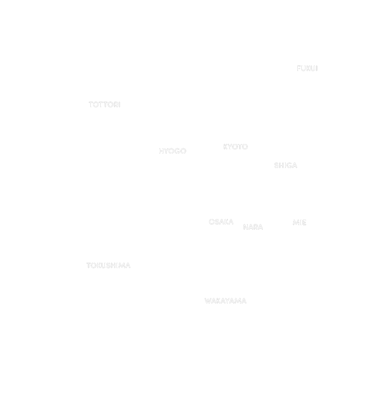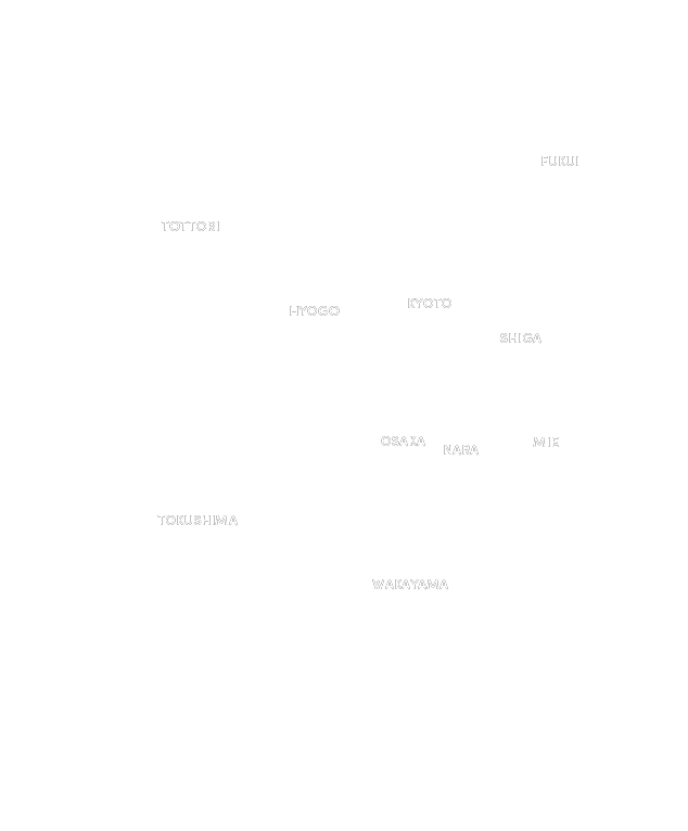


Click on the flags in the Kansai area to find the illustrated
digital map.


Choose your favorite tags and search for the illustrated digital
map.


Enjoy your journey through the Kansai area
with your smartphone and the illustrated digital map!
-

No download needed.
It’s free to use.Since it's a Web service, not an app, anyone can easily use it. Discover the charm of the Kansai area.
※Please note that any data charges incurred while using this service are the responsibility of the user.
-

Walk without getting
lost with GPS!The illustrated map becomes a GPS-enabled digital map. You can walk through new places without getting lost, making your journey both fun and easy.
-

Click the pins to view
tourist information.Tap the pins to view
tourist information.With just a click, you can find shops and tourist spots you want to visit. Enjoy your journey with some detours along the way.
With just a tap, you can find shops and tourist spots you want to visit. Enjoy your journey with some detours along the way.
-

Happening in the area
Experience informationHappening in the area
Experience informationThe map features activities exclusive to the area, showcasing unique experiences that can only be enjoyed there.
The map features activities exclusive to the area, showcasing unique experiences that can only be enjoyed there.


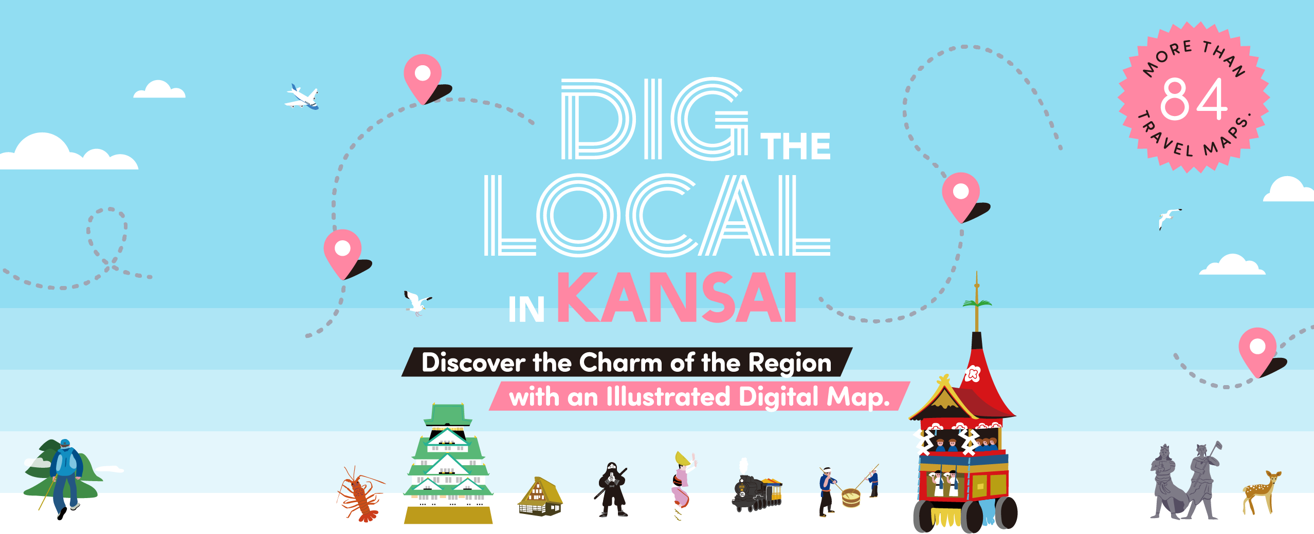
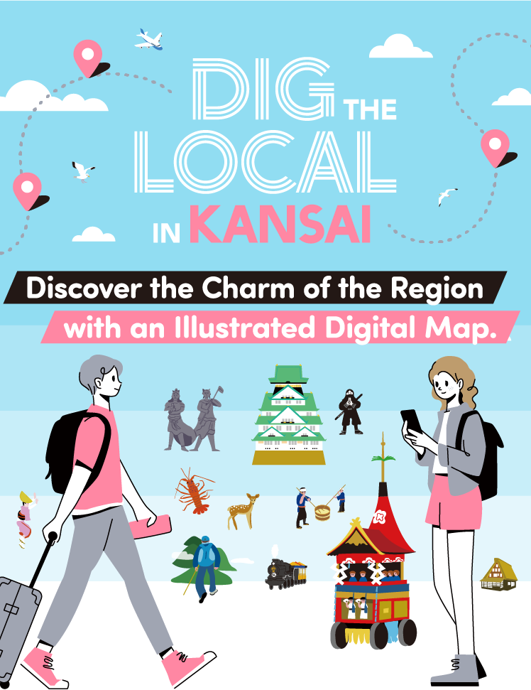
What is DIG THE LOCAL IN KANSAI?
DIG THE LOCAL IN KANSAI is a three-company collaboration project involving the Kansai Innovation Center, the KANSAI Tourism Bureau, and Stroly Inc.
The project aims to gather tourism information mainly from the 10 prefectures in the Kansai area, and to publish it as a wide-area tourism map. This will help more people become aware of the attractions in Kansai and discover the charm of new places.
The illustrated digital maps provide intuitively accessible information with designs that highlight the unique features of each tourist spot, allowing you to visually enjoy them. Find your favorite map and explore the various charms of the Kansai region!